
Met Office Warns of Heavy Rain and Storms Ahead of Hurricane Erin
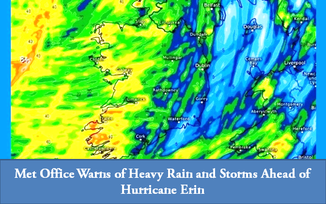
Dublin: Ireland is bracing for unsettled weather conditions as the remnants of Cyclone Erin, which formed in the United States and Caribbean before tracking toward Europe, approach the country, the Met Office has warned.
Widespread heavy rain began this morning across the country, including Dublin, with occasional sunny spells expected. However, conditions will remain unstable throughout the week. Today’s maximum temperatures will range between 16°C and 19°C, though wet weather is expected to disrupt daily routines, particularly following the reopening of schools.
According to the Met Office, Wednesday night will bring renewed rainfall, with some areas likely to see heavy downpours. By the end of the week, temperatures are forecast to dip further.
- Thursday: Stormy conditions with heavy rain and thunderstorms, especially in the north and west. Temperatures will stay between 15°C and 18°C.
- Friday: Brighter spells are likely, particularly in the east and south, though Ulster may see heavy showers. Highs will range from 16°C to 17°C in the northwest.
- Weekend: More sunshine is expected in some regions, but further rainfall and warmer temperatures are forecast by Met Éireann.
Cold winds and unpredictable rainfall are expected to persist throughout the week as Erin’s remnants pass over Ireland.
Irish Samachar English News
Comments are closed.