Apple to Guide you; an advanced version of Apple Maps will soon Function in the UK and Ireland
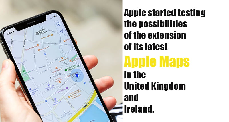
The tech giants Apple has started testing the possibilities of the extension of its latest apple maps in the United Kingdom and Ireland.
Apple Maps is a web mapping service developed by Apple Inc. It is the default map system of iOS, iPadOS, macOS, and watchOS. It provides directions and estimated times of arrival for automobile, pedestrian, and public transportation navigation.
Apple map was initially launched 8 years ago, with the most advanced technologies of that time.
The UK, Ireland and Canada, will be its first international expansion, as part of iOS 14. As per the reports from reliable sources. It will cover and would occur sometime later in 2020.
The new Maps app features proper landscape details such as roads, parking lots, parks, buildings, airports, and more.
Data mapping was done using LiDAR sensors and cameras and the company has used its own fully equipped vehicles for this.
The new Apple Maps, which uses only the data poised by the iPhone maker, can push updates live and has much comprehensive features for its users.
The prime objective of the company in developing the new Apple Maps is that the entire data collection process will be collected by Apple itself and no second party data providers are needed.
According to the earlier reports the company hade made this data collection possible by iPhones with a privacy-first methodology and its own fleet of cars packed with sensors and cameras.
Comments are closed.